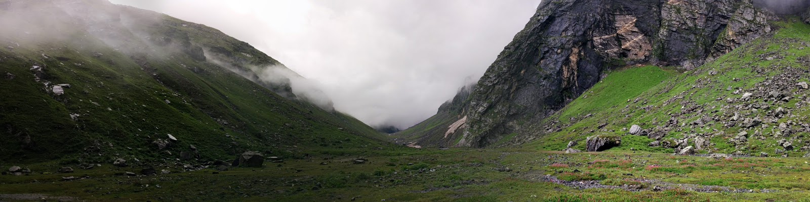
Showing posts with label solo trekking. Show all posts

Sunday, January 22

Devariyatal - Chandrashila Trek Log


After my last trek to Hampta Pass, I couldn’t get any leave from office due to work and had lost precious trek months of August, September and October. It was towards end of November, when I finally got a chance to plan a trek.
One of my office colleague, Shweta had been asking to go on a trek. She was eager to see what a trek would be like. I was little skeptical, since she had no prior experience of trek.
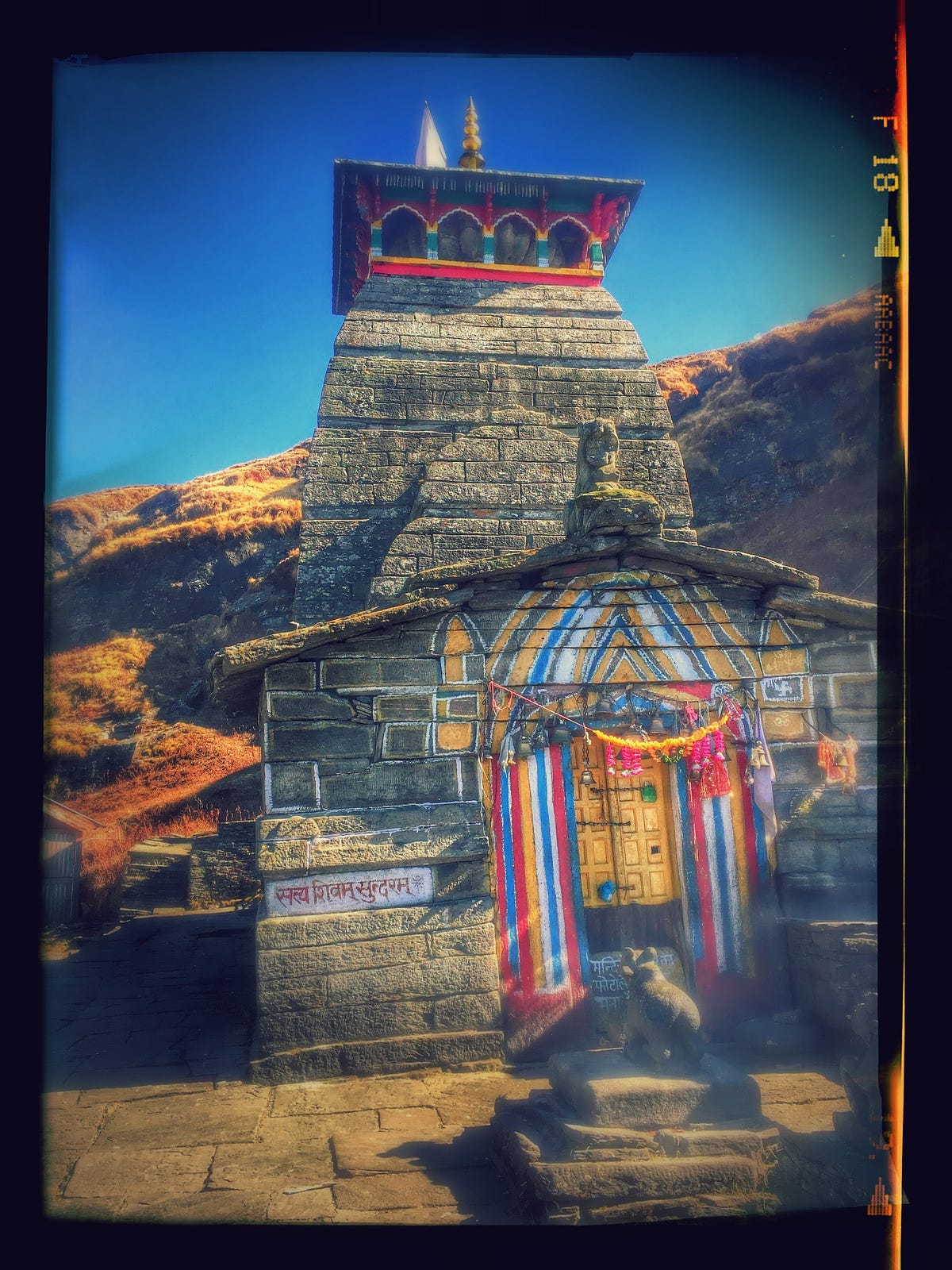

I had not been to Tungnath before, so I chose to trek to Chandrashila starting from Devariyatal via Rohini Bugyal. It was also suitable trek in a way that it is not difficult for new trekkers.
About Tungnath
Tungnath is the highest Shiva temple in the world and is one of the five and the highest Panch Kedar temples located in the mountain range of Tunganath in Rudraprayag district, in the Indian state of Uttarakhand. The Tunganath (literal meaning: Lord of the peaks) mountains form the Mandakini and Alaknanda river valleys. Located at an altitude of 3,680 m (12,073 ft), and just below the peak of Chandrashila, Tungnath temple is the highest Hindu shrine dedicated to Lord Shiva. The temple is believed to be 1000 years old and is the third (Tritiya Kedar) in the pecking order of the Panch Kedars. It has a rich legend linked to the Pandavas, heroes of the Mahabharata epic.
We started from New Delhi to Haridwar on Friday, 25th Nov’16 via train and we reached Haridwar at 4 in the morning. The bus stand was near by so we walked towards Bus stand soon after having tea at Railway station to catch a bus to Joshimath, Chamoli. After 6 hours of journey, we reached Rudraprayag. From there we took a cab to Sari village (Starting point of trek) as there aren’t frequent transport options towards Ukhimath road. Sari is located near Ukhimath in Rudraprayag district.
First Day of Trek
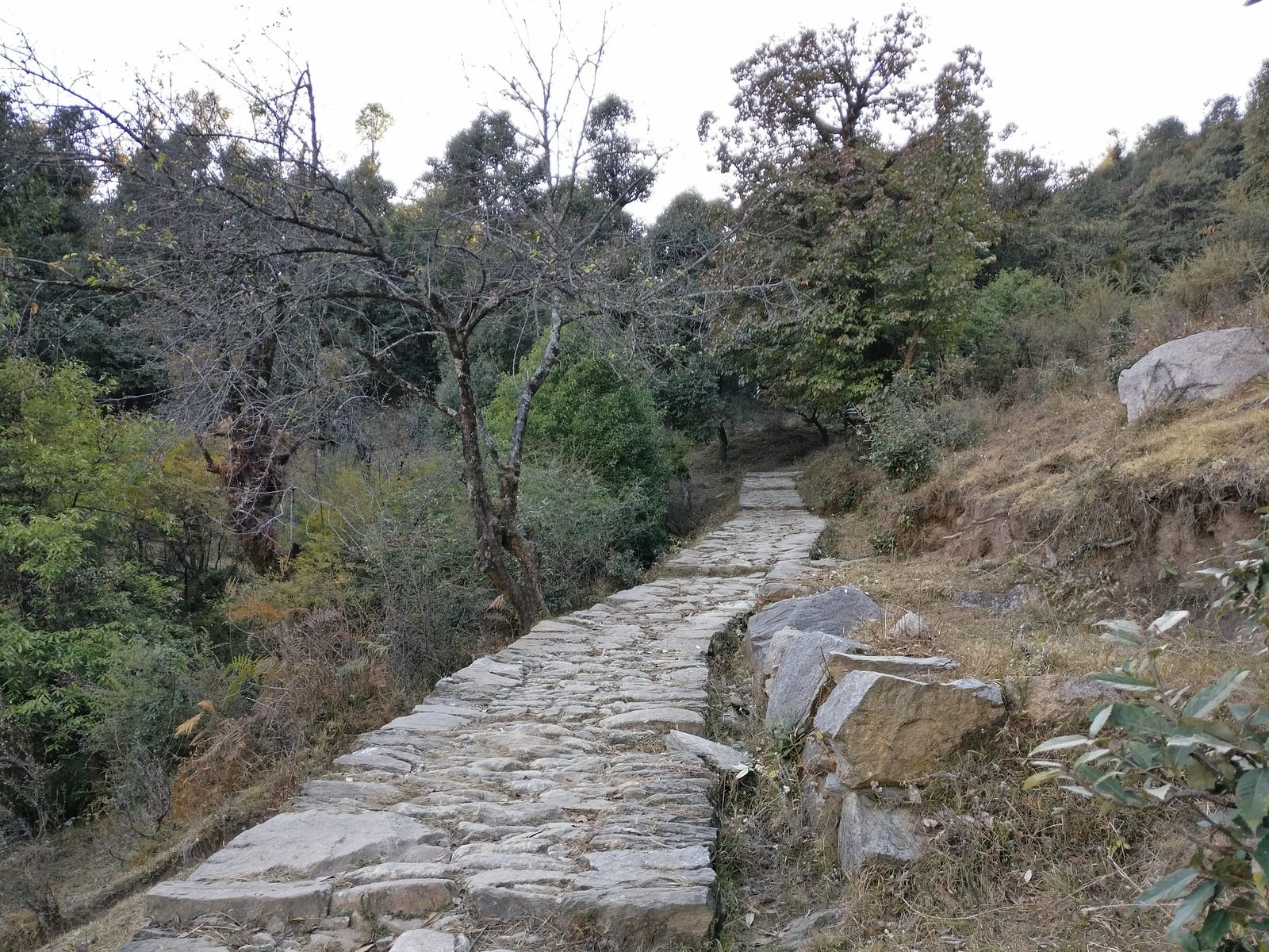
First day of trek towards Devariyatal from Sari

We reached the village Sari around 2 PM. We started off to Devariyatal immediately. Trek to Devariyatal is roughly 3 km climb from this village. In little more than an hour, we reached Devariyatal . There weren’t many people camping that day. In fact, there were only two tents pitched except ours. The lake Devariyatal is beauty of it’s own.
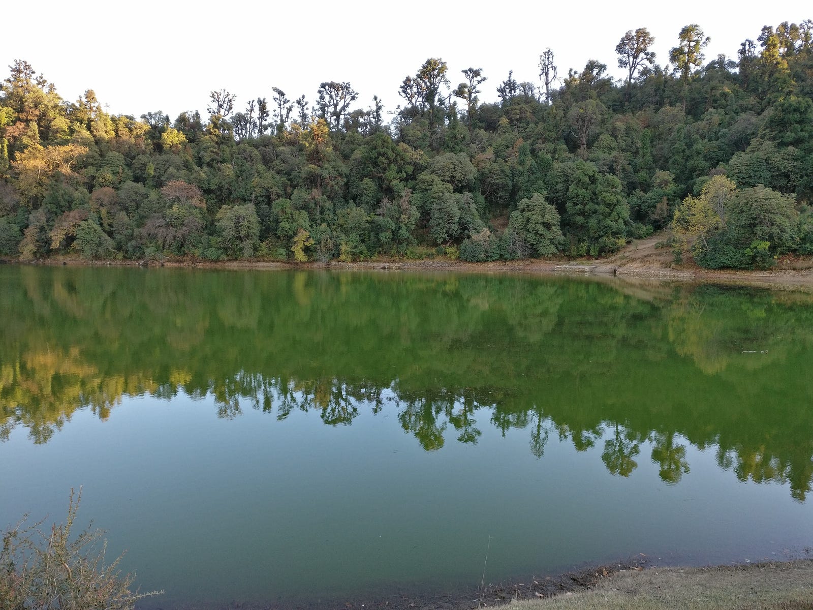

A clear view of peak like Mt. Chaukhambha, and reflections of surrounding trees in it’s calm water could hardly be matched by any other camping site. It is also unmatched in terms of it’s distance from nearest civilization with Sari village being just 2 km downhill. We put our bags and tents nearby the lake and decided to take stroll along the boundary of lake. The sun was about to set, and the surrounding peaks were getting a golden hue.
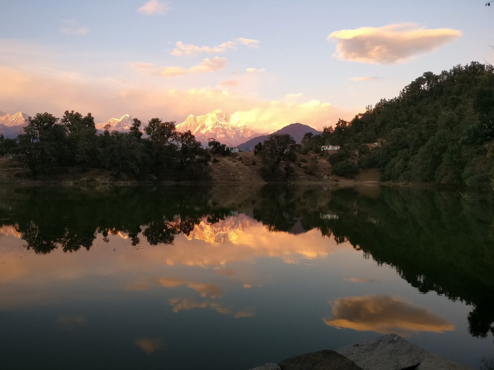

With every moment of setting sun, mountains were getting heavenly.
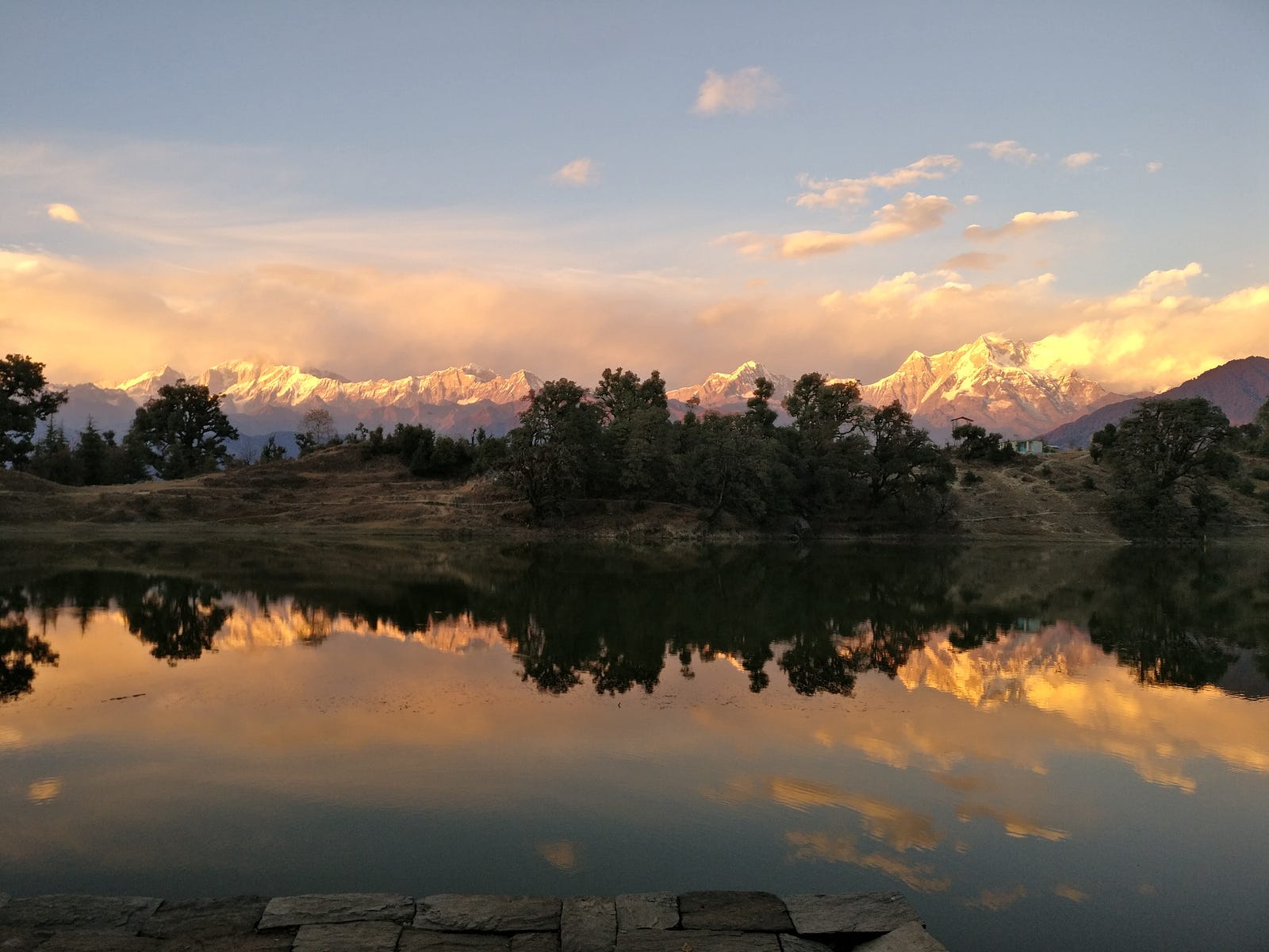
With every moment of setting sun, mountains were getting heavenly.

We rushed to a place to get a best possible view. We couldn’t have enough of it. It felt like as if it has been a long time since I had been away from mountains. Shweta also was very happy to be here. In her words, this place can make a person breathe a new life in themselves.
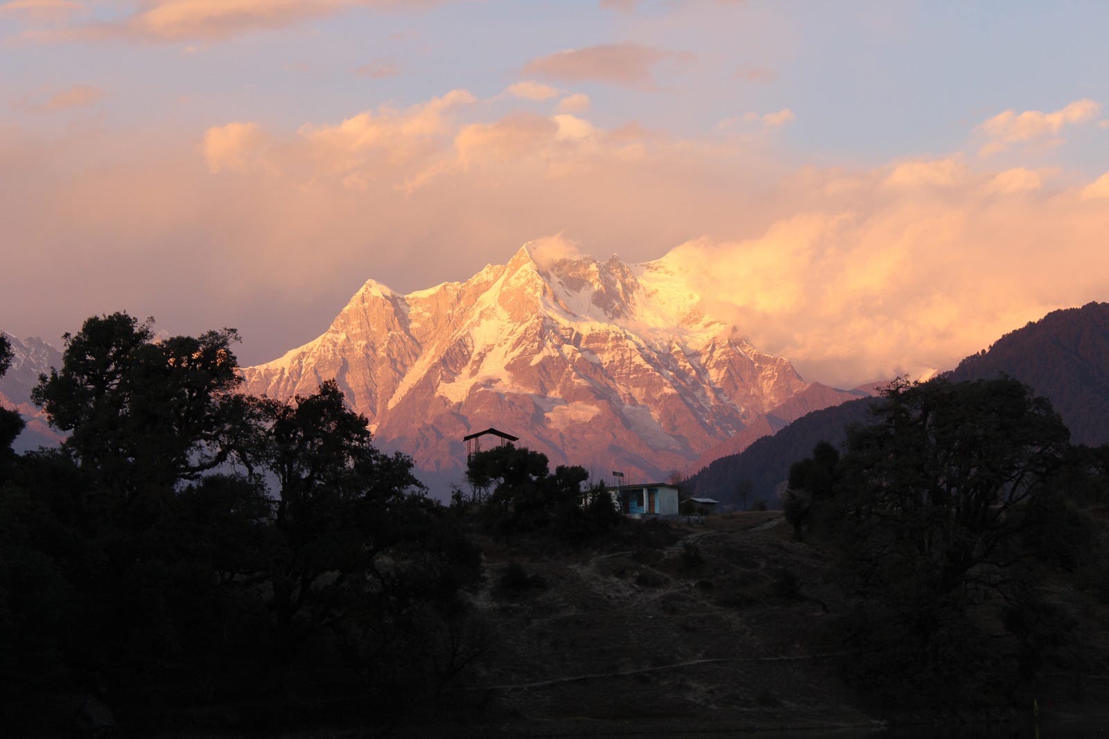

Before dark, we pitched our tents. The sky was soon filled with stars where we sat under in appreciation. After some time, we went to a nearby shop for dinner. There while having dinner, we asked about the route to Chandrashila via Rohini Bugyal from the shopkeeper. He told us to take a guide as there was very less or no water along the route and there was nobody going through that route these days. I had never taken a guide before but this time was different. I needed to be more responsible than before. I was not sure, how easy this was going to be for somebody new to trekking. We may have to keep on trekking if we couldn’t find water along the way till we find any. Shweta was ready to accept these difficulties. After talking to others in the shop, it was clear to us that water sources along the way had dried up and we may face difficulties because of that. Everybody except us, were going to Tungnath from Chopta which was too mainstream for me. While having dinner, I asked if I could get a guide for the rest of the trek. The shopkeeper told us that he knew someone in the village, who would take INR 1000 per day and we also have to rent a tent and sleeping bag for him. We decided to think over it in night and went back to our tents.
Second day of Trek
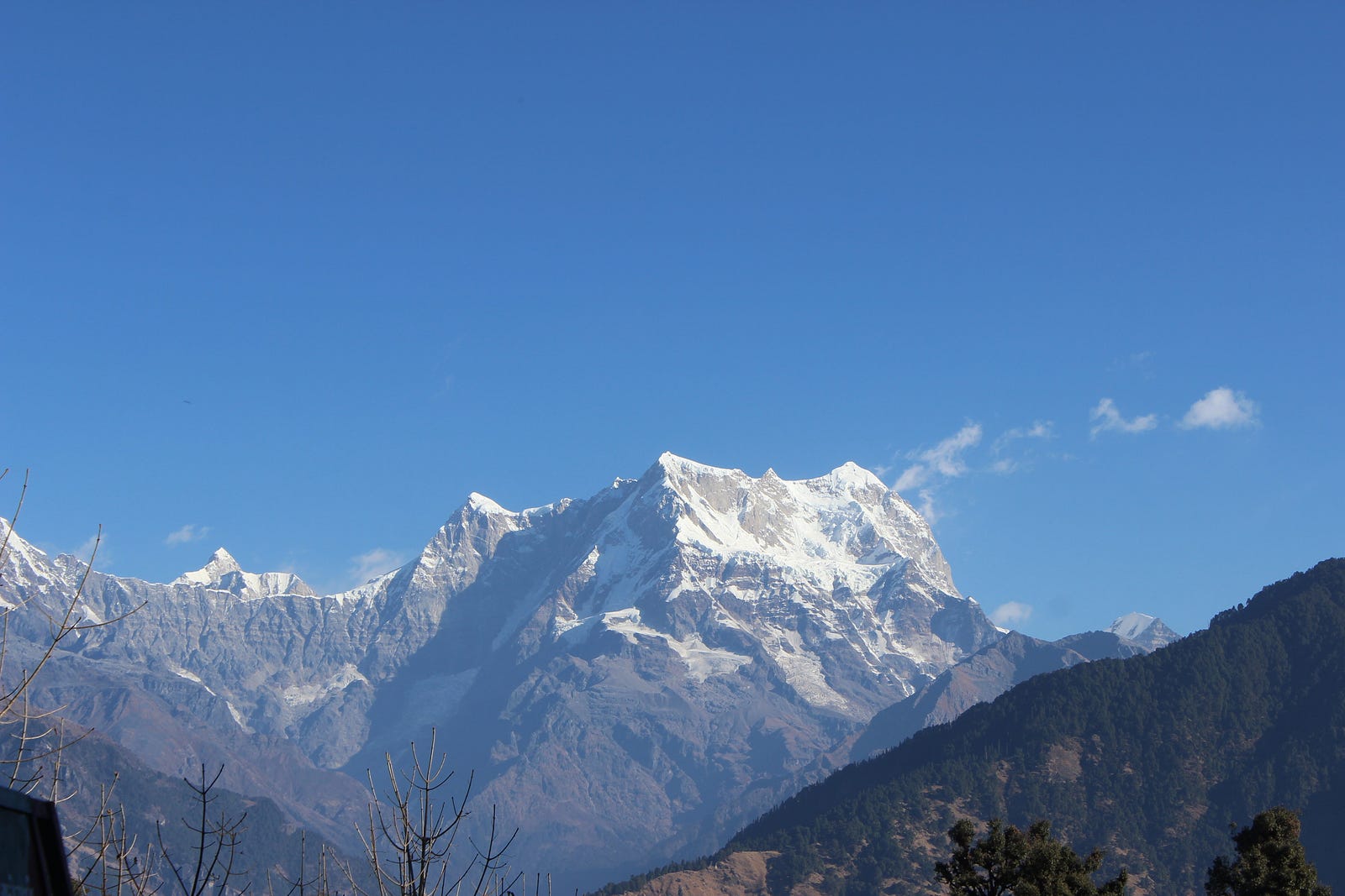
Chaukhambha, early morning at Devariyatal

We woke up early and packed our bags. There was a hut of forest guard nearby who gave us the required camping permits. We were ready by 7 AM. What mattered to me the most was to complete the trek without any unnecessary difficulties. While having breakfast I asked the shopkeeper to arrange for the guide he was talking about last night. Meanwhile he was on his way to Devariyatal from home (Sari village), we arranged for his tent and sleeping bag along with some utensils and food items which will be required in coming days. Being extra careful with water, we bought some extra bottles in case we didn’t find any water on the way. Our guide, Umendra Singh Bhatt, turned up almost after an hour and we started as soon as he arrived. Our first stop was Rohini Bugyal and the trail leading to Rohini Bugyal was not long. It ascends moderately till Jhandi Dhar (a ridge with a flag at the top) and passes through a dense jungle thereafter.
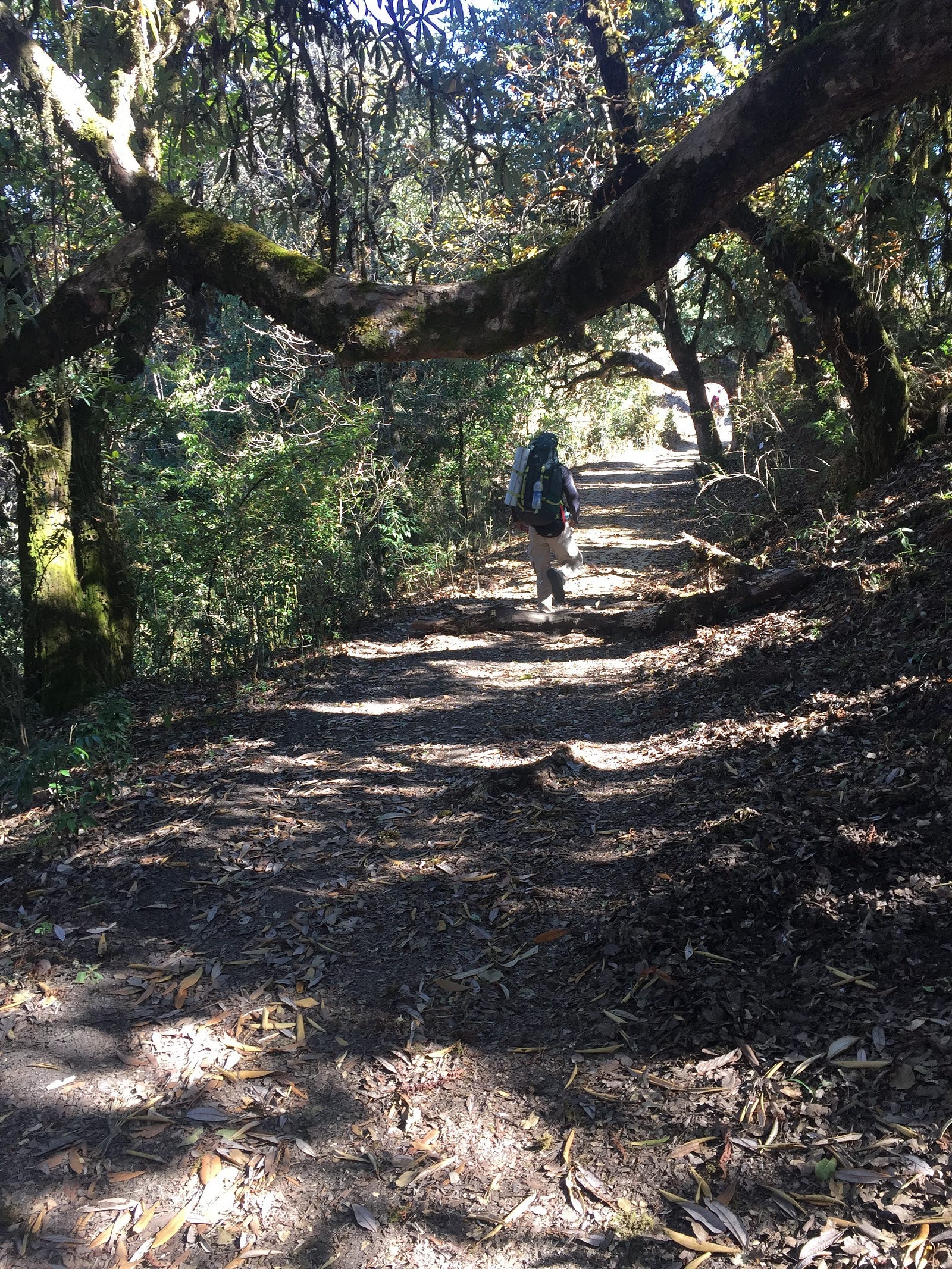

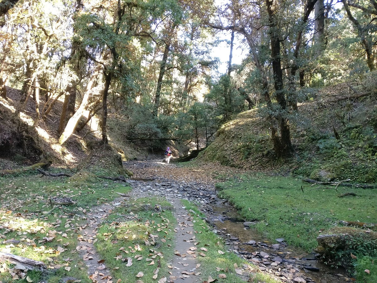
On our right side, we constantly had a view of Sari village. Contrary to what was told, we encountered running streams on our way. After Jhandi Dhar, the jungle becomes dense and beautiful.
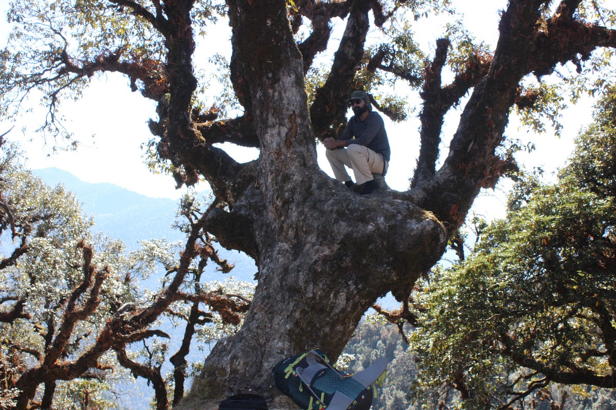
Every now and then I couldn’t stop myself from halting and clicking pictures on the way. We easily reached Rohini Bugyal in 4–5 hours. We decided to halt for the day and the place had few abandoned huts. People living there had left the place not more than a month ago. There was a small stream of water near the place where we decided to camp. Umendra collected some dry woods from nearby place and created a makeshift fireplace with some stones and started to prepare tea. After having tea, we went around to fetch some more wood for night and cooking.
I was curious to know about the places around, so soon after having tea and maggi, we went for a stroll. From our location the view of Trishul peak was blocked by a mountain. Umendra told us that on this mountain, there is a lake called Bisuri Tal which is a high altitude glacial lake. I think it may’ve been known as Vasuki Tal originally. From Rohini Bugyal, a straight trail leads to Bisuri Tal, whereas the trail on the right with initial ascent and then steep descent goes towards Akash Kamini stream coming from Chandrashila.
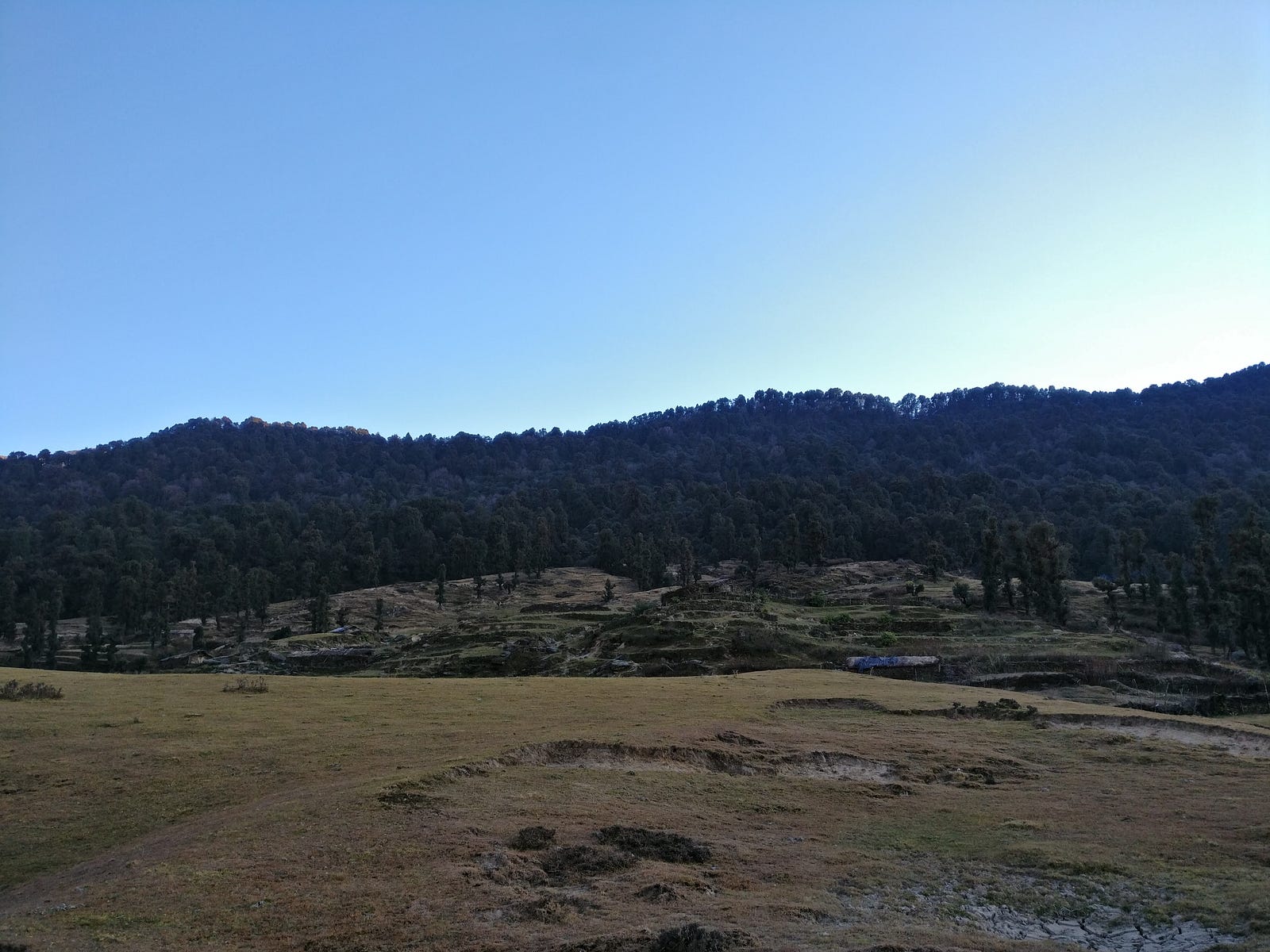
Rohini Buhyal

Usually it takes two more days from Rohini Bugyal to reach Bisuri Tal. Bisuri Tal offers a very close view of Trishul peak and it is one of the less known treks. If time allowed, I was eager to go on this one as soon as we complete the Chandrashila trek. There isn’t much information on Bisuri Tal on internet.
We roamed around the meadow in the evening and as the sun was about to set, the cast it was creating on the mountains was giving such a fascinating view that it was literally a treat to watch. When it was finally dark, we sat near the fireplace to discuss the next course of actions and we decided to start early the next day so as to reach Bhurgali early and continue trekking to Chandrashila after leaving our heavy rucksacks at the shop whoes owner was Umendra’s friend. With this plan, next day was going to be little long. It had more ascent than before. Umendra went to sleep early and we sat there talking near the fireplace till there was no firewood left. After sometime, with not much left to do, we went on towards our tents.
Third day of Trek
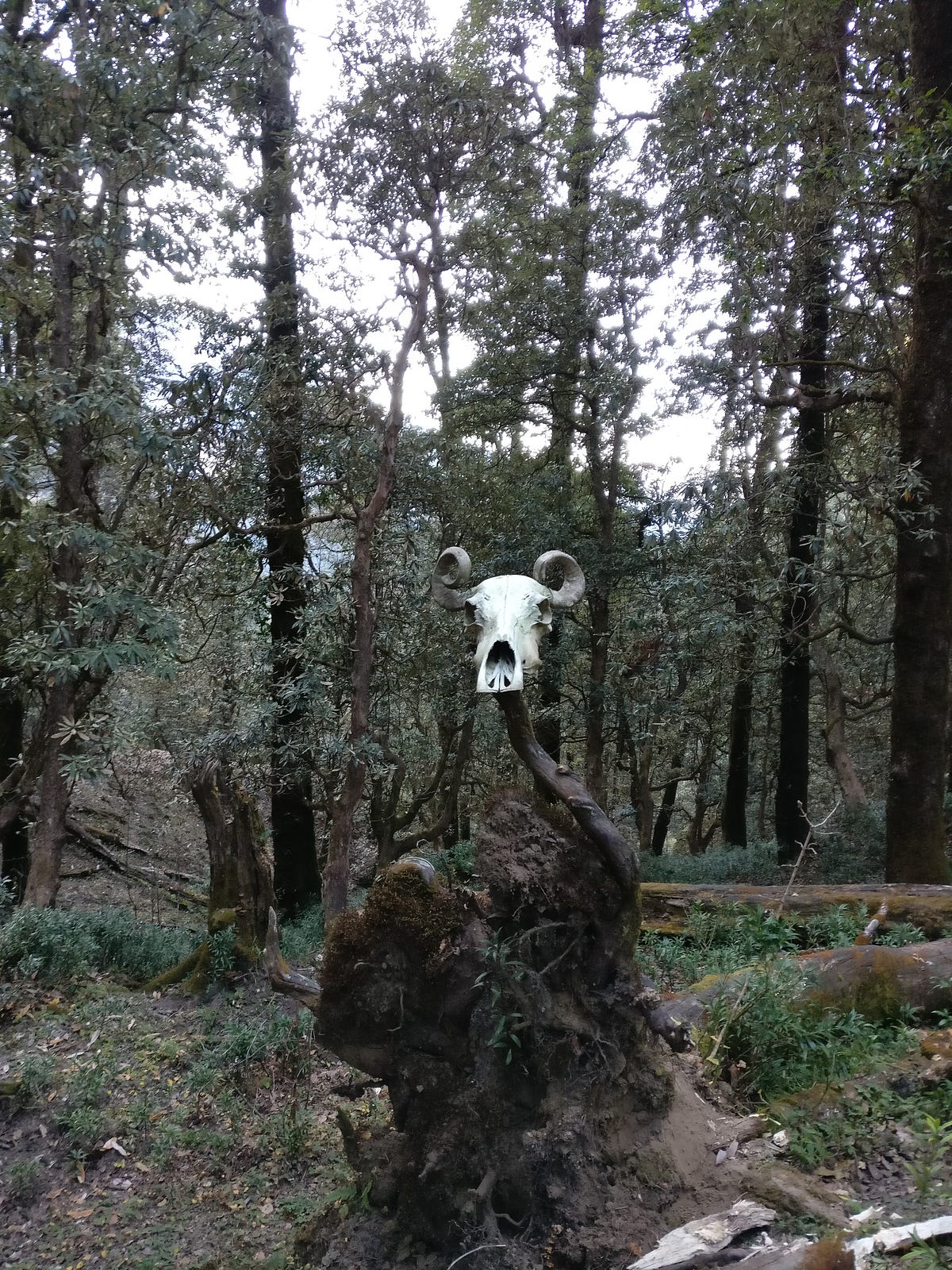

We got up early around 6 in the morning and packed our tents and bags. Umendra had already started preparing tea for all of us. After having some tea and biscuit, we left Rohini Bugyal to start our last day of the trek. Past Rohini Bugyal, trail descends steeply towards Akash Kamini stream. On this descend, Shweta started having problems with her knee which made her little slow. But she continued anyway and we soon reached the Akashkamini stream. It originates near the Chandrashila peak. After walking for around 2 hours we halted near lower Bhurjgali. There were few abandoned huts around where we stayed for a while and had some maggi. Umendra seemed to be a very good cook. We both agreed, that we never had maggi tastier than this. It took nearly three hours for us to reach Bhurjgali.
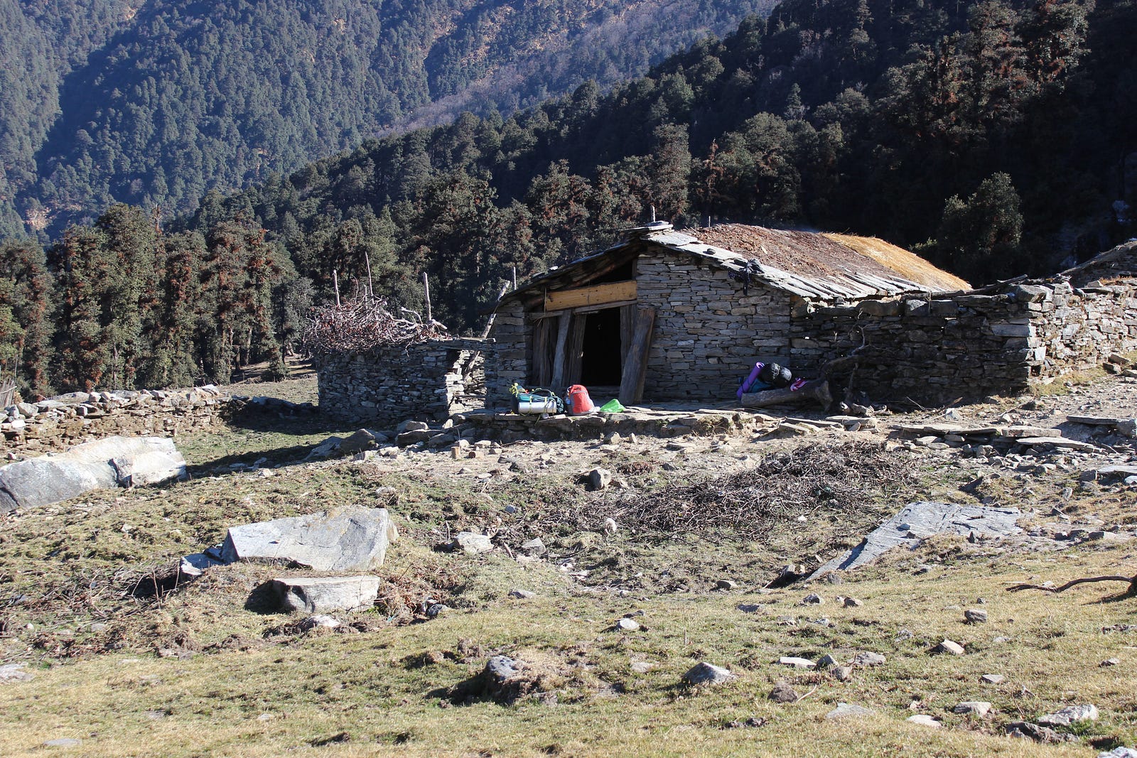
Near lower Bhurjgali

From here onwards, this trail merges to the trail coming from Chopta. In fact Chopta was about a km from here. There was a shop nearby where we left our rucksacks and had some tea. Soon we left for Tungnath and Chandrashila. It is well laid path with carved steps and railings etc. What disappointed me most was the amount of garbage on the way. The task of collecting garbage on the way became more difficult than any other of my treks. Umendra was also helping in collecting the garbage. We were discussing, what could Lord Tungnath offer to those who come and throw garbage around. In an hour or so, we reached Tungnath, though the temple was closed for the season. We offered our prayers and roamed around.
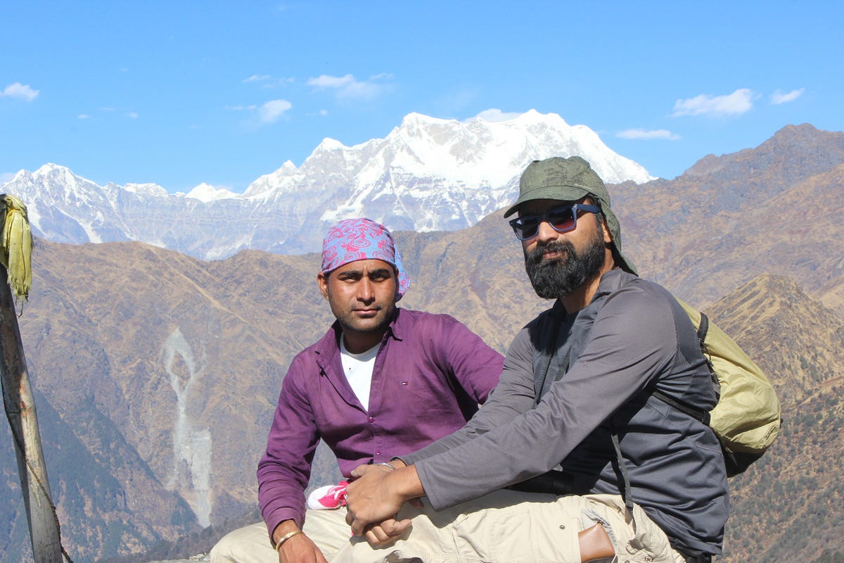

There we met other people who had come there from Chopta. We stayed there for a while and then started ahead for Chandrashila.
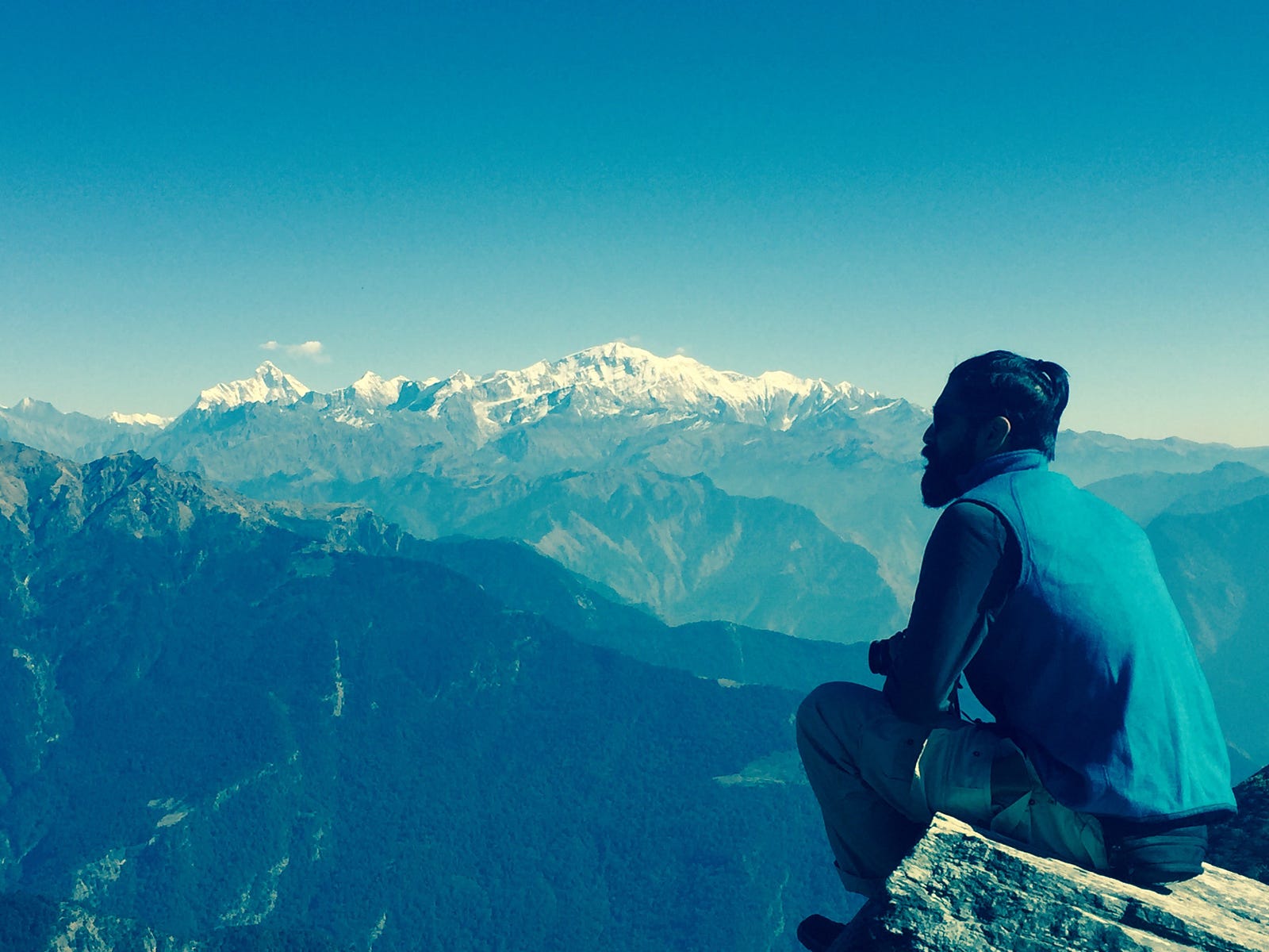
As there was no snow, so it didn’t take much time to reach Chandrashila. There was a small temple up there. As soon as we reached there, all of us offered our prayers to the lord and went ahead with watching the amazing view of mountains. It had been a long time, that I had visited a place which offers such a panoramic view of mountains peaks. We could see a complete 180 degree view of majestic peaks of Garhwal. Umendra told about the various peaks we can see from there and the places around. I had been to the summit of Mt. DKD-II which could also be seen from there. Chandrashila also offers a clear view of Mt. Nanda Devi. From Jaonli to Nanda Devi, every peak was clear to us.
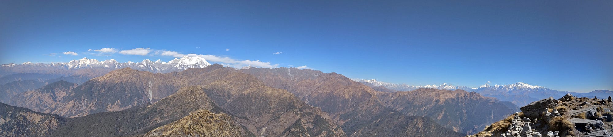
A panoramic view from Chandrashila
I was carrying my binoculars which also helped me explore these peaks more precisely.
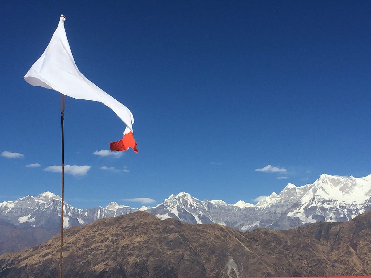

All this time of our stay at Chandrashila, we found ourselves sitting and watching the peaks around. When we were content enough, we started our descent towards Bhurjgali. After walking for almost an hour, we reached Bhurjgali and there we had our lunch and started descending towards Chopta. From Chopta we took a cab to Sari village which Umendra had already called. After a drive of almost 40–45 minutes, we reached Sari, where we stayed for the night before leaving for Haridwar next morning.

Monday, July 18

Hampta Pass and Chandratal Trek Log

I was exploring some extended weekend treks as my office colleagues also wanted to come along on my next trek. After searching and negotiating a lot, no agreeable trek couldn't be decided and now that I have to travel solo, I finally decided to go for Hampta Pass and Chandratal.. Hampta pass trek starts from Manali, Himachal Pradesh. It is a small pass on Pir Panjal range of Himalayas, between Lahaul and Kullu valley in Himachal Pradesh. Vertical rock walls, water falls, hanging glaciers, tiny lakes, peaks rising above 6000 m are main characteristics of this trek. I was very excited about this trek because I was finally getting another chance to see Chandratal.


Kiran was also in town and ready for a weekend trek. We left Delhi on Thursday, 14 July so that we had an extra day before next week starts. Bus to Manali was running late and we reached there around 11A.M. After having heavy dinner around noon, we took a cab for Jobra. It takes an hour and forty hairpin bends to arrive at Jobra. It was around 2 PM when we reached there. We left immediately, as we had planned to reach Balu Ka Ghera on our first day of trek and it was already late. It had rained earlier in the day and path was slippery till Chika village.


In few hours of trek, crossing few streams we reached Jwara. Clouds were all around us and visibility was very poor.

Balu ka ghera was still like an hour far from Jwara. There wasn't much daylight left and it could rain anytime. We decided to pitch our tents in Jwara. In the backdrop, we had a vertical rocky cliff with a nice view of waterfall. There was a shop in Jwara from where we got ourselves nice dinner for the night.


Campsite at Jwara


It was Saturday, June 16th. We started for Balu ka Ghera early morning next day. it was all misty from the beginning which was giving the whole valley a mystic look.

It started raining heavily when we reached Balu Ka Ghera. We got 4 parathas packed from there to have lunch later in the day. After more than an hour wait in Balu Ka Ghera, when the rain didn't stop; we prepared ourselves to walk in rain.

There was a Dutch couple, whom we had met in Jwara. They also arrived Balu Ka Ghera when we were about to leave. We started from Balu Ka Ghera together. They were thinking of returning back from the pass but we had plans to go further. Before the ascent to pass starts, there is a big lake where we bid them goodbye and continued our journey.
Small lake on the way up to pass

In heavy rain, the stream beside us was ferocious which actually accompanied us all along the trek in the valley. After crossing the some boulders, we reached the glacier. In such low visibility, it was getting difficult to find our way forward. Kiran was incessantly asking whether we are on the right path or not. I followed the tracks of mules on the glacier and reached the plateau. It was real cloudy and it seemed that I had lost my way here. We had a pack biscuit there and decided to look closely for tracks. It seemed, that we had to go back and follow the track more closely. On our left was a vertical rocky cliff.
The valley, clouds ahead on the pass

It was there when I heard some sound of mules walking somewhere nearby. I rushed towards the noise, though between so dense clouds, it was being difficult to figure out. Following the mule sound, I heard voice of a man controlling the mules. We shouted and asked whether anybody is there. The mules were gone and lost in the clouds by then. After few minutes, someone replied to our hello. When we rushed towards the sound, it was the same dutch couple with their guide. The lady told me, that they decided to cross the pass same day. The lady was was kind enough to offer us chocolates. We were just few meters away from the trail, but without their help we definitely would've gone in the wrong direction. This could've lost us at least few precious hours. We were actually few meters away from the trail. It's just that the trail makes an unusual bend towards left while going up at the highest point of trek which we would have easily figured out in clearer sky.

Towards Shiagoru From Hampta Pass
With them, we started our descent to Shiagoru. It's a steep descent which was little slippery due to rains. The rain was little slow at this part of valley (Lahaul). If it was a normal day, we could've had a nice view of Indrasan peak which was right to us while climbing down. We were descending to Lahaul Valley. The arrangements were already there for the night in Shiagoru for the Dutch couple. We decided to trek further down to Chhatru. Kiran had to go back next day for Delhi on Sunday to join office. The stream in Shiagoru had grown strong due to continuous rain that day. It's a flat area fed from glacier; it wasn't deep but certainly was cold. Having crossed the stream with our hands joined, we took off for Chhatru. From Shiagoru to Chhatru, it's a long walk but easy descent. The sun was about to set when we reached Chhatru roadhead. Chhatru is on the way to Kaza from Manali. We pitched our tents, and were invited for dinner by trek organizers from Bikat adventures who were also camped there.
Before Chhatru


Early morning, we had a quick breakfast in Chhatru. There were few truck drivers having tea. When they were about to leave, I asked them for a drop to Batal. I started my journey ahead with them after saying goodbye to Kiran who was waiting for a conveyance that he can get to Manali. Chhatru to Batal isn't very far, but due to road conditions it was already afternoon when I reached Batal. After having lunch in Batal, I enquired for the directions to Chandratal. People suggested me to go to Kunzum pass and start a near downhill trek from there. I took there advice, as it was clear that the road from Batal to Chandratal was only preferred for vehicles. Those truck drivers were still there having lunch. I joined them again when they left for Kaza.

It was raining in Kunzum la, when I reached there. There was no one who could tell me the way to Chandratal, though there was a board with signboard of Chandratal. I just decided to follow the path behind the board. It was well laid trail till I reached a point from where I had a view of valley. At this point the trail ended and I had nowhere to go. I could see tents far in the valley, but there was a very steep descent. I tried to go down that path, but had to to turn back as it was very slippery. When many attempts to find a better way to the valley failed I had to retrace the path back so as to find some alternative way. I was sure that I was on right path to Chandratal. After few meters of travelling back, there was a trail sharp left climbing towards the nearby hill. I took that and climbed the hill to see around. From there, I could see the trail going further inside the valley. Thanking god, I trotted down the trail. All along the way, the weather was clear and I had a nice view of valley and Chandra river valley.
Chandra Valley

Finally, the Chandratal was in sight. I aimed to reach Chandratal with some buffer time to explore. It was not allowed to camp there but there were many people camping around Chandratal. There was no authority to control this. While trekking from Kunjum La to Chandratal, I did not find any kiosk or office where one could find any kind camping permits etc. The visitors of Chandratal, mostly were with some trek organization on four wheelers with exceptions of few bikers.

Chandra Taal

Despite that, Chandratal was still very beautiful, clean and peaceful. The small stream emanating from Chandratal and a wooden bridge looks like a setting from a fairy tale. I sat there around half an hour. When sun had set, I turned back towards Batal road looking for a place to camp. Most of the good places nearby were completely occupied by private organizations which was little disheartening. Anyhow I was able to find a place to camp besides some Paragon camping site. Next day returned back to Batal. On the way to Batal from Chandratal, I was offered a lift by a jeep accompanying bikers. In Batal, I was able get hold of a jeep going towards Manali. Buses are not very reliable on this route. The driver of the jeep was in his teens and he was determined to reach Manali by lunch time. By afternoon, I was in Manali where I had lunch and explored the market until it was time for bus to Delhi.


Monday, June 6

Indrahar Pass Trek Log

In our previous treks we had been travelling light and walking long miles a day thus helping us do treks with less leaves from work. Planning first trek of 2016, I was thinking of something in Himachal Pradesh and then I got my hands on Depi Chaudhary's Himalaya trek maps. It's very detailed one and I spent hours studying it. Hoping to combine two short duration treks, I thought of Indrahar pass(4350 m) in Dhauladhar Range between Kangra and Chamba valleys, and Kugti Pass (5050m) in Chamba. Indrahar pass is popular among trekkers but Kugti pass is less travelled with altitude of significant 5000+ meters and this required some travelling on road as well.


Alternatively, I also thought of doing Minkiani pass from Laka cave after coming down from Indrahar pass. Depi Chaudhary's map was showing a route to Minkiani pass from Laka cave which is little beyond Snow point cafe but we zeroed down on Indrahar pass.

My always ready travel buddies Kiran and Akshay were willing to join for this trek though Akshay wasn't much updated on the diversions which I and Kiran were planning to take.


With thought to first reach Indrahar pass and later decide what next, we left on Thursday, 12th May. Akshay wanted to see Bhagsu waterfall, so we started our day with that. We were told about a path leading to Triund via Upper Bhagsu village. There was a small puddle where it used to be a pond. We started for Triund around 12. It was a steep climb till we merged into Triund trek route. It was a hot day and there weren't enough trees for shade. We had our lunch in Triund and soon decided to leave for Snowline Cafe.


Akshay was little reluctant to walk that day and I was slowly giving up hope to reach Lahesh cave the same day. I sincerely wished that we reach Lahesh cave on the same day after halting for a while at Snowline cafe for food but by the time everybody reached Snowline, we decided to camp there and leave for Indrahar pass early next morning. We all were carrying our separate tents but the night got very windy and Kiran had to sleep in Akshay's tent as his tent fell due to wind.

In the night we were informed of snow conditions on the trail and were advised to take a guide. We were told that an ice axe might be needed to carve out steps in a glacier which falls very steep from peak. There was small group of people who attempted to reach Indrahar pass a day before with a guide but they had to come back from few 100 meters before pass due to snow condition and weather. Though, short on money we couldn't have been able to afford guide that day and we started little late around 8:30 AM on Friday contrary to what we had planned. There were two more people leaving that day from Snowline Cafe for the pass. They even had an ice axe and were even planning to cross the pass that day. One of them was Ken from Japan. I was hopeful that if we followed them, we would be able to get to the top. They left before us. Akshay was not willing to continue, though he came along us for a stroll till Laka Cave area. Negotiating the Laka glacier took a little time and Akshay didn't want to continue, so he decided to walk back from there.
it look a little time .. though it was fun

waterfall near lahesh cave

We followed the trail and cairns on the way. The path was not very clear, sometimes I had to look around to be sure that we are on the right track. We continued our walk but Ken and his friend were nowhere to be seen by now. There were steps carved in glacier. Kiran hesitantly crossed it.

Slowly and steadily, we were making progress. I was finding it difficult to follow the track, though I was sure that it was the right path.


The top seemed very close. I saw a severed head of what looked like a goat and blood patches on the trek. I couldn't think of any reason of  what killed it that way. Kiran was uneasy after seeing that and was feeling tired so he asked me go ahead without him. It was past noon.
Weather seemed to coming in heavily. Suddenly it was all dark and cloudy. It was difficult to see what lies ahead. Kiran was far behind and I was not able to find trail further. Markers were pointing towards a glacier which was very steep. It wasn't very wide but there were no footsteps. Suddenly it started to hail. and I feared of it getting worse as there was no place for me to hide so I decided to turn back and be content with the progress made on the trek.


With time, the hailing slowed down but there wasn't much time to change the decision for that day. Few hours after we reached Snowline Cafe, Ken and his friends also came back and they managed to reach the top. I sat there and pondered what went wrong. Why did I turn back when I knew there wasn't much left till the top, I was almost there. While talking to the cafe owner, he suggested that had we started little early, we could've got company of local Gaddi people, who crossed that pass frequently with their goats and sheeps.


At center is the severed head of goat
Recollecting all what I have seen on the way, I asked the shop owner at cafe about the severed head of goat. He told me that Gaddi's kill the goat which walk slowly because if they are left behind, these goats may die with hunger.


We returned back from Snowline next day on Saturday to McLeodganj. Here is our shared photo album.


Next Attempt:

It had been two weeks since my last unsuccessful attempt to complete the trek, the thought of not able to complete that trek was constantly bothering me. With a constant feeling of " I shouldn't have given up so easily ", I knew I won't be able to plan any other trek unless I complete this one so I decided to make another attempt to reach the top atleast. It was Friday, 3rd of June when I left alone for McLeodganj. My only camera; my mobile gave in due to charging problems. I didn't even carry my tent this time and decided to stay in caves only. There was another cave on the other side near Chatta where I would be staying, if I were to cross the pass.

With all the thoughts and will, I started off for Lahesh cave on Saturday Morning. Rested for a while at snowline cafe, I left for Lahesh cave after having lunch. I was in luck as there few gaddis who were to cross that pass tomorrow. Next morning, I heard calls of those shepherds while I was getting ready and I tagged along with them. Those sheeps were really slow while walking. I was following them and sometimes tried to help them controlling the sheeps. When I reached the point from where I turned back last time; I had to go ahead of these sheeps as they were nearly came to a halt. Few local people were coming down from the top where they had gone to offer prayers. They also offered me prasad. Walking further more for around half an hour I was at the top. The lead shepherd was sitting there and enjoying the view of Chamba valley. Breathing lively and cherishing what beautiful the view was, there is another thought going in back of my mind and I was wondering what would be the view of the other side from the top. Heavenly it was, much more than what I imagined. The steep descent from pass goes to a vast flat plateau covered with snow. From there one can see Pir panjal range and Mani Mahesh peak. Few minutes later another group joined us. We all stayed around for an hour and roamed around to see the view of valley from different spots. After an hour, clouds started rising from the valley and with rising clouds, we too started back. And in a short while, it started hailing and raining heavily. We continued our descent slowly and cautiously as the path was now slippery due to rain. And then we heard the sound of loud thunder and saw frequent lighting around. It continued all along the way and rain got heavier.We had to take shelter and Lahesh cave was nearest to our rescue. After an hour it stopped raining and we again started walking down to Snowline cafe. I was having lunch over there when it started raining again, actually this time it was pouring. When it slowed down, I too started my journey back slowly towards Mcleodganj. It was already dark when I reached the town and I had to no other option than to stay over night in Mcleodganj due to non-availability of bus. I was happy that I reached the pass which gave me many sleepless nights because I left it incomplete last time. I still wished to cross the pass to see what lies on the other side; but I was travelling too light for that.